Lidar

An understanding of local walking context plays an important role in the analysis of gait in humans and in the high level control systems of robotic prostheses. Laboratory analysis on its own can constrain the ability of researchers to properly assess clinical gait in patients and robotic prostheses to function well in many contexts, therefore study in diverse walking environments is warranted. A ground-truth understanding of the walking terrain is traditionally identified from simple visual data.
- Categories:
 178 Views
One to three columns of data are X, Y, Z coordinates respectively
- Categories:
430 Views
One to three columns of data are X, Y and Z coordinates respectively.
- Categories:
115 Views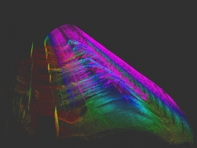
Dataset of rosbags collected during autonomous drone flight inside a warehouse of stockpiles. PCD files created using reconstruction method proposed by article.
Data still being move to IEEE-dataport.
- Categories:
1749 Views
This dataset contains aerial images acquired with a medium format digital camera and point clouds collected using an airborne laser scanning (ALS) unit, as well as ground control points and direct georeferencing data. The flights were performed in 2014 over an urban area in Presidente Prudente, State of São Paulo, Brazil, using different flight heights. These flights covered several features of interest for research, including buildings of different sizes and roof materials, roads and vegetation.
- Categories:
2296 Views